
Map San Dimas Parcels by Street
The practical San Dimas street directory method is a walk across the official map, not a promise of a whole-street owner list. Begin with one complete address and keep the spelling exactly as USPS delivers it. Open the Los Angeles County Assessor Portal, enter the address in “Search by AIN or Address,” and save the AIN, situs spelling, parcel polygon, map references, and visible property facts. Then pan or zoom to the next parcel and repeat.
For incorporated San Dimas, the city’s interactive zoning map is the local companion. Use the magnifying-glass search, zoom to the parcel, click the polygon, open the legend, and toggle the layers that clarify zoning or land use. The popup is informational. It does not replace a title search, survey, appraisal, or formal zoning confirmation.
- Normalize the address and search it in the county Assessor Portal.
- Record the ten-digit AIN, situs, legal or tract clues, and parcel shape.
- Browse the adjacent polygons in the city map and note each AIN shown.
- Request owner information only for a specific parcel, using the AIN or complete address.
- Use the Recorder, permit files, and historical directories to test the date and identity trail.
When the question changes from a whole street to one named person, use the San Dimas resident lookup workflow instead of stretching an address search past what it can show.
The San Dimas zoning map is the source for the city parcel and land-use view.
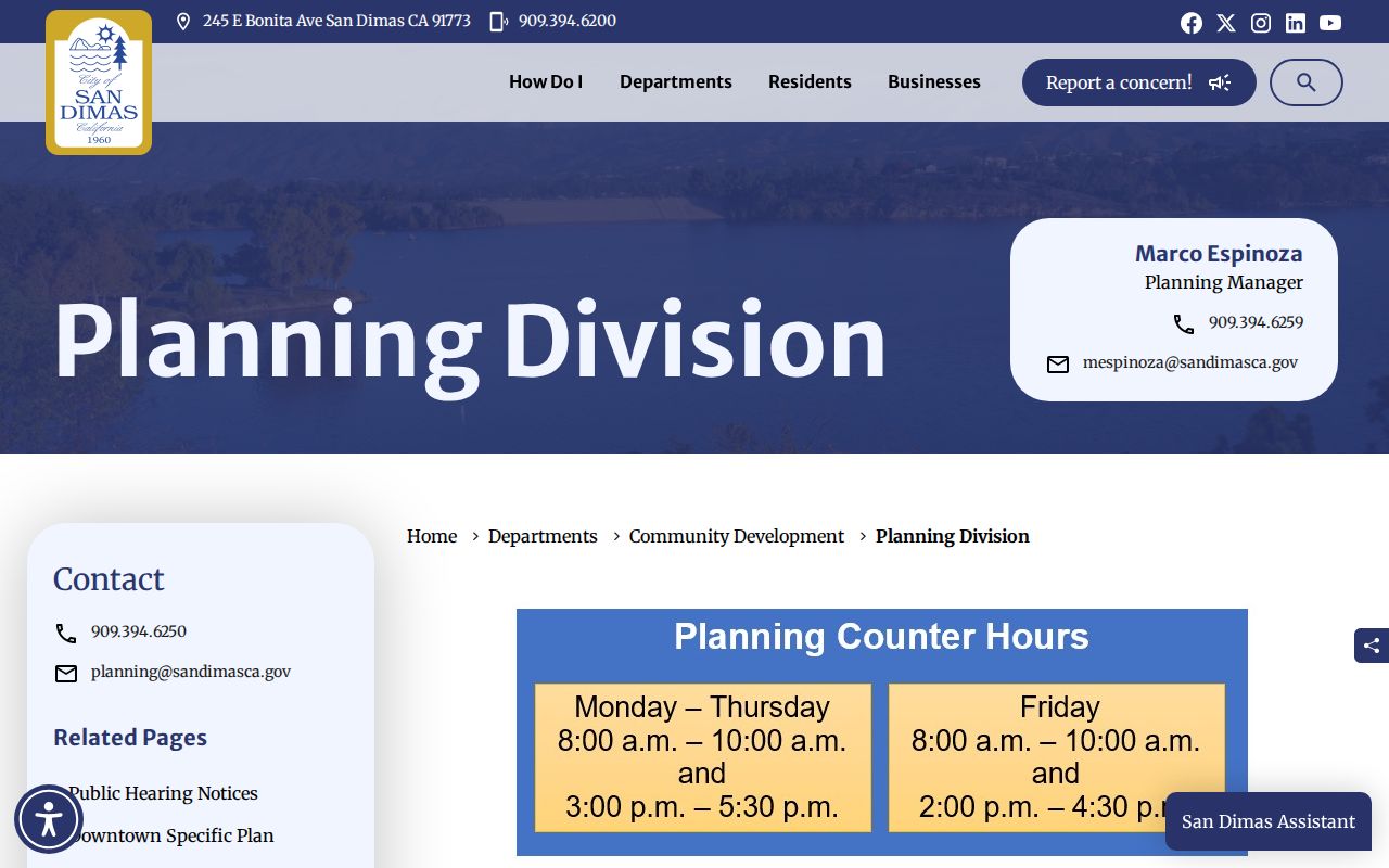
Its click, zoom, legend, layer, and popup controls help trace a street segment while keeping zoning separate from title evidence.
Note: The city map locates parcels and land use, but the county deed record remains the title source.
San Dimas Parcel Records
An AIN is the county’s stable parcel key. In Los Angeles County it is ten digits, commonly four digits for the map book, three for the page, and three for the parcel. The situs is the physical property. A mailing address is the destination for tax correspondence. A deed legal description, lot and block, or tract reference is the best bridge when a street label changes or a parcel is split.
The Assessor’s Basic Search, Legal Search, and Map Search modes are different paths. The direct address box accepts an address or AIN. Results can show the parcel boundary, assessment roll year or effective date, land and improvement values, characteristics, and map or legal references. Owner name and mailing address are deliberately hidden from the public web result.
| Situs address | Physical location of the parcel. |
|---|---|
| AIN or APN | Ten-digit county parcel identifier. |
| Legal description | Lot, tract, map, or other title continuity clue. |
| Mailing address | Where tax correspondence is sent; it may be elsewhere. |
| Parcel polygon | Map geometry for orientation, not a survey. |
Use the county’s AIN guidance when a new-development parcel does not match a street search. A tax bill or title report can also carry the number.
The AIN format is the first continuity key for a San Dimas street directory because names and postal labels can vary across decades.
San Dimas Records by Street
Street-level work uses several record sets, but only some are keyed directly to an address. The Assessor map accepts an address one parcel at a time. City Planning can confirm zoning by address and may direct a researcher to the counter when an address is unclear. Building and Safety forms connect a job address and APN to an owner, contractor, scope, and plans. Deeds are indexed by party and recording year, so the street is an indirect route through the parcel owner.
| Record set | Keeper | Street evidence | Access |
|---|---|---|---|
| Parcel and AIN | LA County Assessor | Situs, shape, values, characteristics | Free address/AIN map; owner by request |
| Zoning and land use | San Dimas Planning | Parcel popup and nearby land-use context | Free city map, phone, counter |
| Recorded deeds | LA County RR/CC | Ownership transfers and legal description | Norwalk index since 1850; copies by order |
| Permits and plans | City Building and Planning | Job address, APN, owner or agent, dates | Forms, counter, phone, focused request |
| Historical directories | Library and repositories | Listed householder or address-first entry | Catalog, reference desk, closed stacks |
Use the record’s own language. “Owner,” “listed adult,” “permit applicant,” and “resident” are not interchangeable labels. That restraint is what keeps a San Dimas street directory useful.
Note: An address-keyed record still has a keeper, access channel, and field that must be named.
San Dimas Owner Records
The county website does not offer a public owner-name browse. For one identified parcel, the Assessor makes owner information available through a Specific Property contact request, a phone call, or an Assessor office. Call 213-974-2111 or 888-807-2111, or provide the full address and AIN through the county’s property-information route. The answer is about the property record. It is not a statement about who occupies every unit.
The distinction matters along a street. An absent owner, trust, business, mailing agent, or tax correspondence address can sit outside San Dimas. A homeowners’ exemption can be supporting evidence of a claimed principal residence, but it is not conclusive proof of every person at the situs. Nonowner household members do not appear on the parcel roll.
The Assessor’s official map help describes the web owner-name suppression and the alternative channels for a specific property.
The Los Angeles County property guidance is the source shown in the specific-property request image below.
The county’s specific parcel route is the lawful replacement for a public whole-street owner list.
Privacy boundary. Use parcel records for lawful personal research. Do not use an address trail to stalk, harass, threaten, or reverse-locate a protected person.
San Dimas Street Deed Records
Once a specific owner is identified, the Recorder’s index turns an address into a transfer history. Los Angeles County real-estate records begin in 1850, but the public name index is available at the Norwalk headquarters, 12400 Imperial Highway. Search the grantee name around the acquisition year, record the document number or book and page, and read the legal description and vesting. Then search the seller as an earlier grantee. Repeat only when the legal description, parcel clues, and dates stay consistent.
Recorder staff do not perform title research. A copy request starts after the index has supplied an identified document. Copies can be ordered online, by mail, or in person, and processing is described as up to 20 working days from receipt. Fees vary by document and certification. The county’s copy-order page is the remote channel; the Norwalk terminal is the discovery channel.
| Search key | Record it | Common error |
|---|---|---|
| Grantor and grantee | Name and role in the transfer | Assuming a matching name is the same person |
| Recording year | Narrow date range | Searching every year without a parcel clue |
| Document number | Exact copy key | Ordering from a street address alone |
| Legal description | Lot, tract, or other description | Ignoring an address or map change |
The county’s copy-order instructions are the source shown in the recorded-document image below.
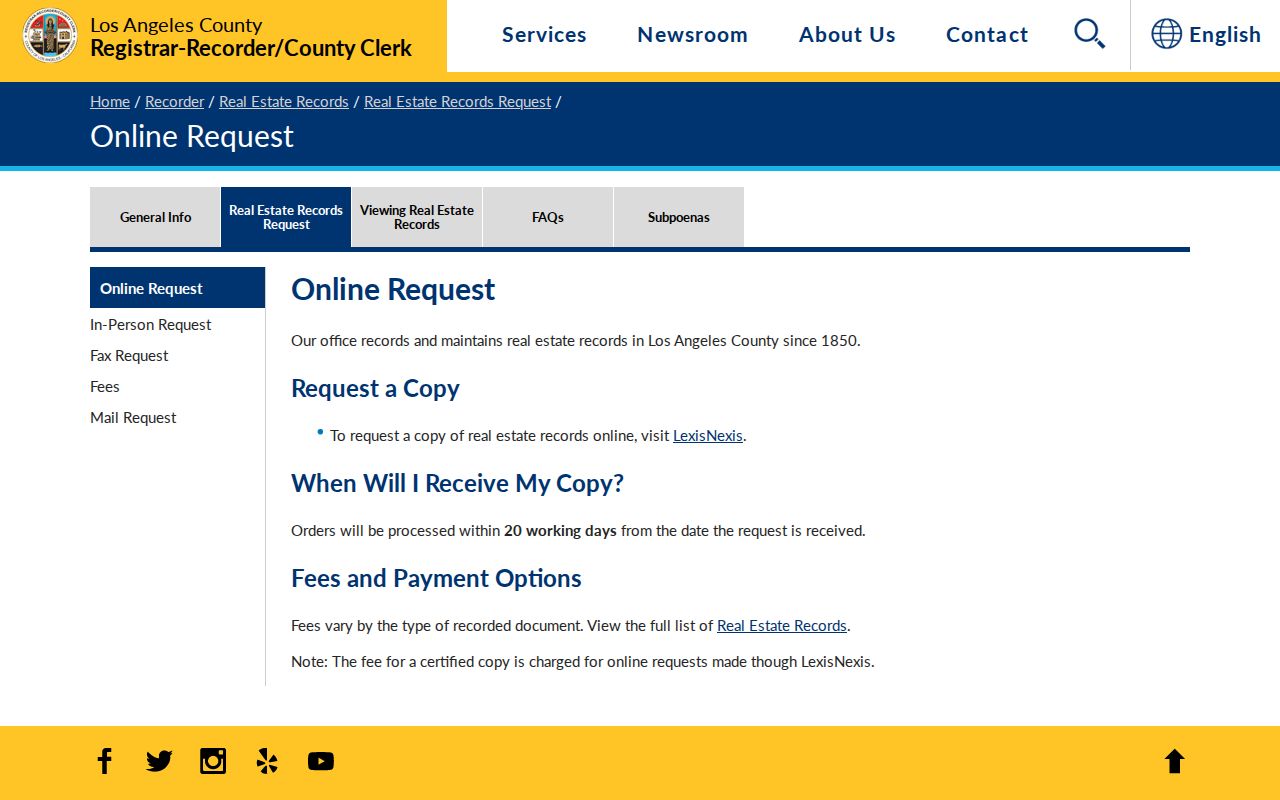
The instructions make the difference between identifying a record and ordering a copy clear.
Note: Discovery at Norwalk comes before a remote copy order, because an address alone is not a document key.
San Dimas Permit Records
San Dimas Building and Safety does not advertise a complete public permit index, but its forms show what an address-keyed request can contain. Applications ask for the project address or location, current owner name and address, APN, scope, contractor, site or plot plan, foundation, framing, sections, and floor plans. Those fields can date additions, conversions, roof work, pools, solar work, signs, and demolition.
Only the property owner, licensed contractor, or an agent with a notarized authorization dated within one year may pull permits. Building and Safety is at 245 E. Bonita Avenue and can be reached at 909-394-6260; Planning can provide zoning by address at 909-394-6250. For older files, send the City Clerk a focused California Public Records Act request with the normalized address, AIN, and date range. Code-complaint sources and sensitive personal material may be withheld or redacted.
The San Dimas permit forms and handouts are the source shown in the address-evidence image below.
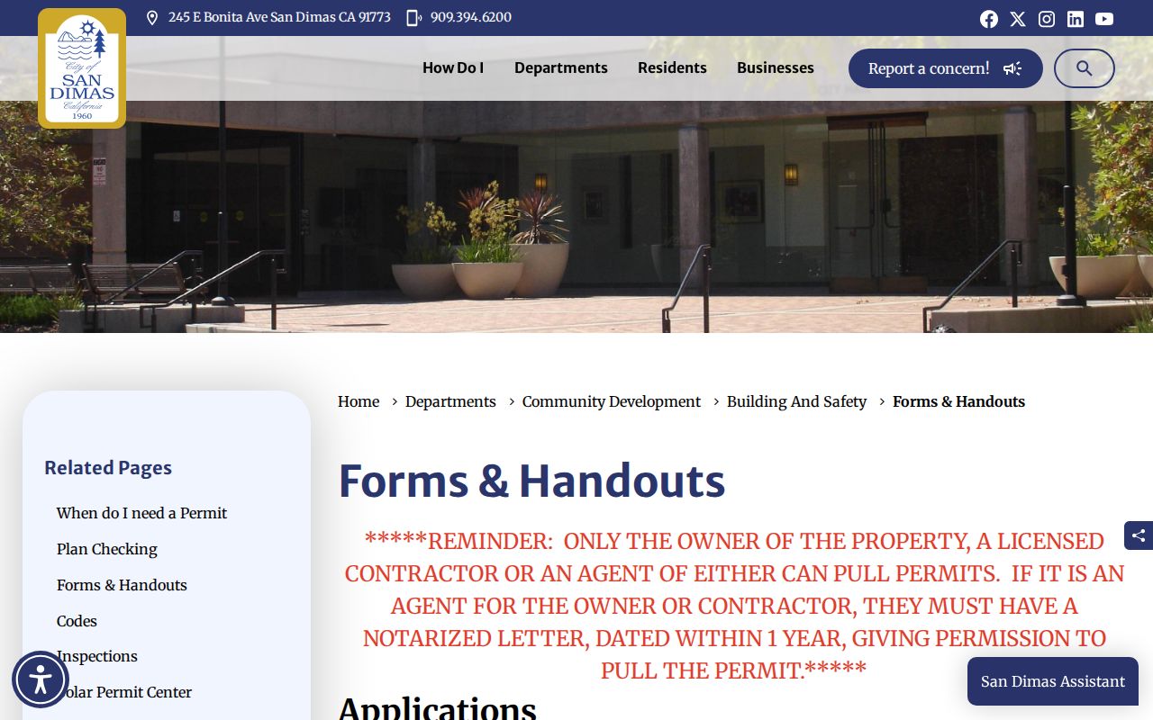
The permit materials show why a request can connect an address to a project date without claiming that the applicant lived there.
San Dimas GIS and Zoning Records
City GIS adds useful neighborhood context to a San Dimas street directory. Search the address, click the parcel, inspect zoning and land-use fields, toggle layers, and browse the polygons that touch the subject site. The popup can be docked and the legend explains the map. For unincorporated county pockets, GIS-NET offers identify, query, buffer, measure, export, report, and print tools. Its scope is different: county planning data do not automatically govern incorporated San Dimas.
GIS is an orientation layer. It can help identify the next parcel, a tract pattern, or a land-use change. It cannot certify title, prove an occupancy date, or replace a survey. Check a legal description and the Recorder when continuity matters.
1959 San Dimas Street Directory
The strongest verified address-first historical source is Luskey’s 1959 Criss Cross City Directory and Classified Blue Book. Its street section reverses the usual directory direction: start with the address, find the listed name, and then confirm the name in the alphabetical section. It is a listed-householder source, not a full census. Absence can mean nonsubscription, an incomplete copy, a spelling difference, or a regional boundary.
LA County Library’s Norwalk Californiana closed stacks and the San Dimas Historical Society are the right channels for historical volumes. The historical shelf includes Home Telephone books, San Dimas directories, regional Pomona volumes, and later telephone and civic products. The San Dimas historical directory collection explains the years and publishers in detail. Use directories as a bridge between deeds, census years, newspapers, and permits.
San Dimas Voter Records Limits
California’s voter file is not a public reverse street directory. My Voter Status asks for last name, birthdate, house number, ZIP Code, and CAPTCHA so one voter can verify their own status. A voter-file request requires a qualifying election, scholarly, journalistic, political, or governmental purpose, identity proof, a security plan, a requested subset, and a signed declaration. The County Index to Voter, including a street index, remains purpose restricted.
Do not use a paid file as a casual San Dimas residents directory. The rules exclude personal, commercial, and harassing use, and protected voters may be withheld. For current street work, report parcels and recorded ownership with dates. Leave household membership unknown unless a separate lawful record confirms it.
Note: California’s self-status form verifies one requester and cannot be repurposed as a neighborhood browse tool.
San Dimas Street Directory Limits
No address search reveals every person at an address. Parcel records describe land and ownership. A mailing address describes correspondence. A permit names an applicant or agent. A historical directory names a subscriber or householder. Utilities and DMV address records are not ordinary public-directory sources, and California’s Safe at Home program protects qualifying participants with a substitute address.
For a well-supported result, save the source URL, record date, AIN, document number, and the fact each source actually confirms. Stop when the next step would require protected voter data, sealed vital information, or a guess about household membership.
Fallbacks still matter when a portal fails. San Dimas Planning can answer a zoning-by-address question by phone or at the City Hall counter. Building and Safety accepts its permit forms and can direct an eligible owner, contractor, or authorized agent to older files. The City Clerk can receive a focused California Public Records Act request by NextRequest, email, or counter visit. Historical address work belongs with library reference staff or the Historical Society, where the relevant criss-cross volume may be closed stack material. These channels do not turn the street directory into a complete resident roll, but they prevent an unavailable web index from becoming a dead end.
Note: A whole-street search is a sequence of specific parcel checks, not a county promise of a single owner list.