
San Dimas ZIP Coverage
The verified ZIP coverage for San Dimas has one primary city ZIP and a documented edge question. USPS assigns delivery geography, while incorporation and annexation define city jurisdiction. Because those systems do not share one boundary, use a full address when a record search depends on whether a parcel is inside San Dimas.
| ZIP Code | Areas Covered | Post Office | Notes |
|---|---|---|---|
| 91773 | Primary San Dimas mailing area, including central, downtown, foothill, Via Verde, and other city sections | San Dimas Post Office, 300 E. Bonita Avenue, 91773-9998 | Standard ZIP; verify each address and ZIP+4 |
| 91724 | Covina mailing geography near the west and southwest edge, including a West San Dimas question | Covina postal facilities | Exact city-parcel tie was not officially verified; do not treat it as citywide |
No official research source confirmed a separate PO-box-only or unique ZIP for San Dimas, and no dated ZIP split or realignment for 91773 was found. The table is therefore a working coverage guide, not a substitute for USPS address validation.
The USPS ZIP Code lookup is the source shown in the postal search image below and the tool to use before applying a ZIP to a San Dimas record search.
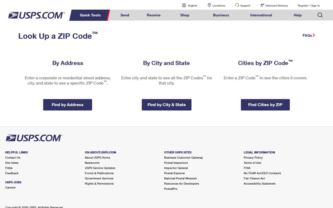
Save the complete address result before moving to a parcel or city-jurisdiction search.
Note: USPS assigns a delivery area, while the city and county decide which public office governs a parcel.
San Dimas ZIP 91773
91773 is the core ZIP for San Dimas city mailing addresses. The official San Dimas Post Office is at 300 E. Bonita Avenue, San Dimas, CA 91773-9998, with phone 909-599-0651. That facility address confirms the postal identity of the station, not the legal boundary of every delivery route.
USPS offers two useful modes. “By Address” returns the ZIP and ZIP+4 for a complete delivery address. “By City and State” can supply a postal starting point, but a city-name result is not a parcel jurisdiction decision. Use the exact address when a city permit, zoning record, or county parcel is next.
| By Address | Complete street address; best route for ZIP+4. |
|---|---|
| By City and State | Postal city search; useful for orientation, not legal boundary proof. |
| ZIP+4 | Extra four digits that refine delivery within a five-digit ZIP. |
| Post office facility | Confirms a station and its postal line, not every city parcel. |
The San Dimas Post Office listing is the source shown in the facility image below.
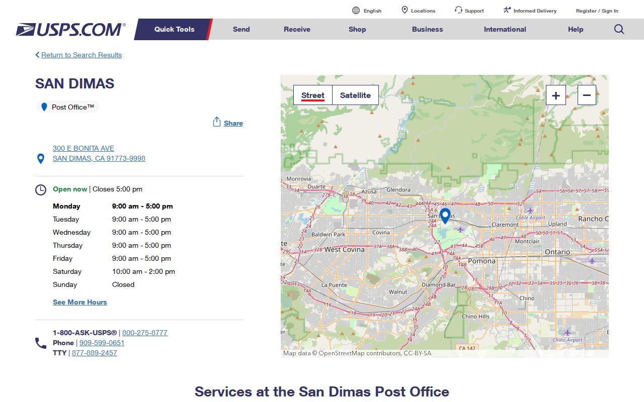
The facility address and ZIP+4 identify the station, not every parcel on its delivery routes.
Note: A post office facility confirms the station’s ZIP, not the jurisdiction of every address it serves.
San Dimas ZIP 91724 Edge
Research identified 91724 as a Covina mailing geography at or near the west and southwest edge, with a West San Dimas question that must be resolved one address at a time. No official USPS or city boundary source tied a complete set of San Dimas parcels to 91724. Treat “San Dimas” in a postal line as a delivery convention until city GIS or an official jurisdiction tool confirms incorporation.
The mismatch comes from two systems. USPS draws delivery areas for carriers and post offices. San Dimas’s city boundary comes from incorporation and annexation. A fringe address can use another preferred postal city, while a postal label can sound local without establishing the parcel’s government. A ZIP code directory that skips this distinction will send a records request to the wrong office.
Boundary check. Verify the ZIP with USPS, the parcel with the Assessor, and incorporation with San Dimas GIS before naming the city custodian.
Find San Dimas Residents by ZIP
A ZIP-keyed resident search is a sequence of filters, not a single public directory. USPS validates the address. The Assessor accepts an address or AIN but does not advertise a ZIP-wide owner browse. The city zoning map accepts an address and shows parcel context, not every 91773 parcel. My Voter Status verifies one person and cannot return a ZIP resident list. Business-license searches may accept an address, but the ZIP control was not verified for the local HdL screen.
- Run the complete address through USPS and save the five-digit ZIP and ZIP+4.
- Use the San Dimas map or county parcel map to test city jurisdiction.
- Search the Assessor by address to obtain the AIN and parcel facts.
- For a specific property, use the county owner-information channel or Recorder trail.
- Once a ZIP narrows to a street, continue with the San Dimas street directory lookup.
The sequence keeps a delivery label from doing work that only a parcel or custodian can do. It also makes a later correction easier because the address, ZIP, AIN, and city decision are written down separately.
Note: ZIP filtering narrows the search, but an AIN or complete address supplies the parcel identity.
San Dimas ZIP and Parcel Keys
Four geography keys can appear in one San Dimas search. USPS mailing address is for delivery. Situs is the physical parcel. Mailing address is where a tax bill goes and may differ from the situs. AIN is the county parcel identifier. Legal description is the title continuity clue. They can align, but they answer different questions.
Use the Assessor’s combined “Search by AIN or Address” field for one parcel. The result can show polygon, map references, values, characteristics, and assessment date, while owner name remains suppressed online. A ZIP included in an address does not turn the portal into a ZIP browser. The county’s parcel map is a collection of individual address or AIN checks.
A ZIP code directory should hand street-level work to a parcel map and an AIN. The AIN is four map-book digits, three page digits, and three parcel digits. It can bridge an older tract or a postal spelling change more reliably than the ZIP alone.
Open the Los Angeles County Assessor Portal for address and AIN search.San Dimas ZIP Records
The Assessor web portal is built around an address or AIN, not a public owner-name or ZIP-wide browse. Owner information for a specific property is available by phone, at an Assessor office, or through the Specific Property contact request. That channel is narrower than a whole-ZIP export and keeps the answer tied to an identified parcel.
City GIS works in the same address-first spirit. Search the map, click a parcel, and inspect zoning or land use. No documented ZIP filter was captured. For an unincorporated county pocket, GIS-NET adds query and buffer tools, but its planning scope does not automatically govern incorporated San Dimas. Ask the city’s Planning or Engineering staff when a right-of-way or addressing question is truly local.
Note: The absence of a ZIP filter is a portal design fact, not proof that no parcel in the ZIP exists.
San Dimas ZIP Business Records
California Alcoholic Beverage Control is the clearest research-confirmed ZIP-capable public source in the local material. Its license lookup can search a license number, licensee, business address or name, and reports can be organized by city, ZIP, county, or tract. The result can show license and status details, type, expiration, primary owner, DBA, premises, mailing information, and actions or conditions.
That layer helps with a business or civic geography question. It does not create a San Dimas resident list. Distinguish the licensed premises, mailing address, entity, owner, and agent. A result can also be dated or subject to the board’s own display rules.
The ABC license lookup supplies the source shown in the ZIP-capable business image below.
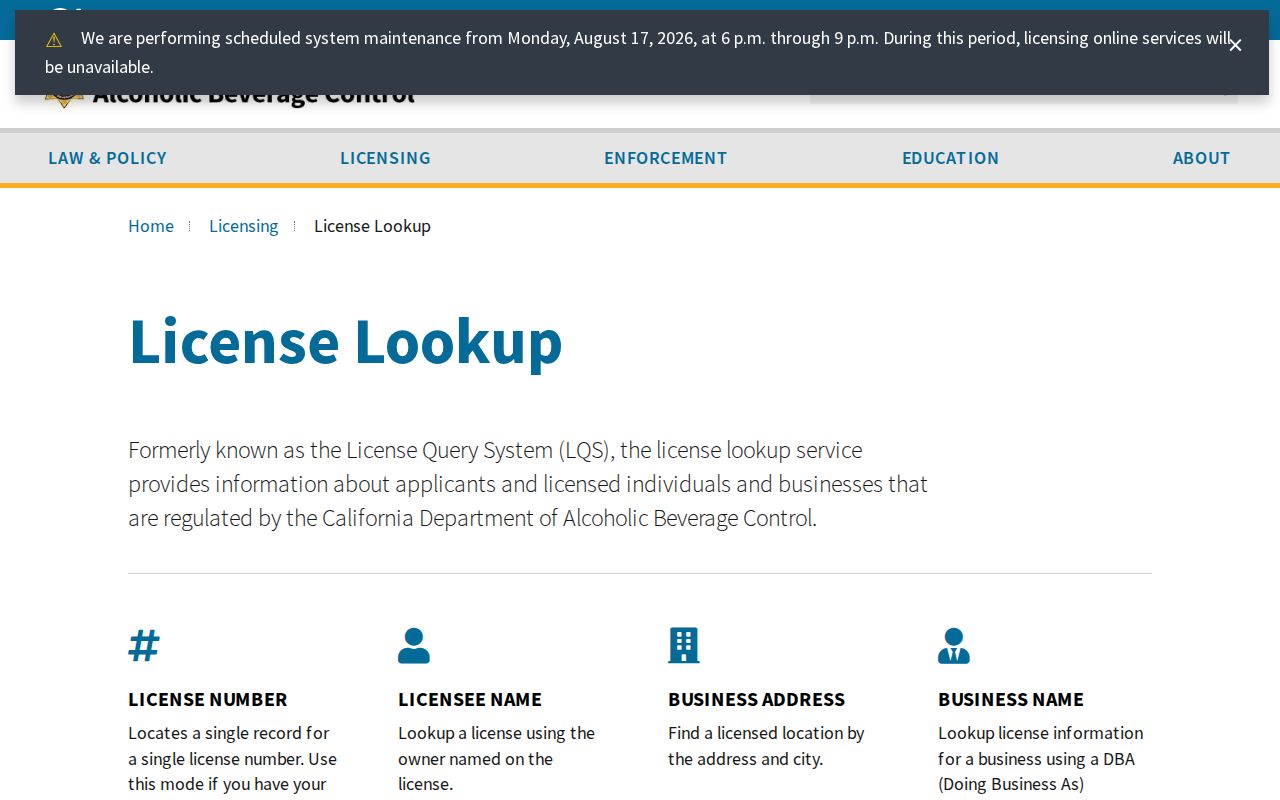
It adds a ZIP-capable business layer when the question concerns a licensed premises rather than a household.
San Dimas ZIP Boundary Limits
San Dimas incorporated in 1960 after neighboring annexations, which helps explain irregular fringe geography. The postal city line, city boundary, county pocket, council district, and parcel map can all be different layers. Use city GIS or an address-based jurisdiction tool for incorporation, not the ZIP field alone. Use the county Assessor for the AIN and the proper permit or records office for the parcel.
- ZIP Code
- A five-digit USPS delivery area that can cross a municipal boundary.
- ZIP+4
- Four added digits that refine the delivery route within a five-digit ZIP.
- PO-box ZIP
- A ZIP used for post-office boxes; no San Dimas-only PO-box ZIP was verified.
- Unique ZIP
- A special ZIP assigned to one institution or narrow delivery use; none was verified here.
- Carrier route
- A delivery path beneath the ZIP layer, not a resident roll or city boundary.
The San Dimas Code Compliance guidance is the source shown in the private-boundary image below.
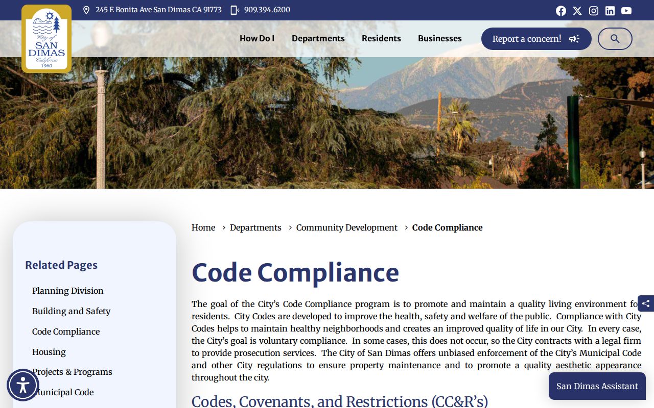
It reinforces another boundary: HOA and CC&R contacts are private, not a city member directory.
San Dimas ZIP Records Not Published
The research did not locate a city-authored ZIP population table, per-ZIP voter statistics, a citywide ZIP parcel list, or a dated 91773 split map. Census QuickFacts supplies city context but not a local ZIP resident roster. The Assessor’s interface has no advertised ZIP-wide owner browse. My Voter Status is personal. City business search may find an address, not every person attached to it.
That is why a sound ZIP code directory ends with a handoff. USPS validates delivery, the city map tests incorporation, the Assessor supplies AIN facts, the Recorder traces an identified owner, and the street-level record chain takes over once the ZIP becomes an address. Keep the ZIP as a filter, never as a conclusion.
Note: A San Dimas postal line can guide the first search, but the custodian and parcel decide which record path applies.