
San Dimas Neighbor Records
The local block lookup has several layers. The city interactive zoning map shows adjacent shapes and land-use context. The Assessor can supply parcel facts for each AIN, while owner information is handled through a specific-property route. The Recorder can then be searched by owner name and year at Norwalk. Historical directories and civic records can add dated context, but none is a complete list of people at every address.
| Source | What it shows about a block | Access |
|---|---|---|
| San Dimas interactive zoning map | Adjacent polygons, zoning, land use, layer context | Free address search, map browse, popup |
| LA County Assessor Portal | AIN, situs, parcel facts, map and characteristics | Free address/AIN search; owner by request |
| LA County Recorder | Separate ownership transfers and legal descriptions | Norwalk index; identified copies remote |
| GIS-NET | Identify, query, buffer, measure and export for county territory | Free county viewer; not city zoning authority |
| Voter data | Purpose-limited registration information, not a block roster | Self-status or qualifying file request |
| HOA and CC&R records | Private association governance when voluntarily published | Contact the association; City Hall has no member list |
The table’s limits are the point. A San Dimas neighbors lookup can map a block and identify the right custodian without claiming that every nearby parcel has the same kind of resident evidence.
Note: A block table can describe official layers without creating a roster of private households.
Map San Dimas Neighbor Parcels
San Dimas’s interactive zoning map documents an adjacent-parcel method. Click the magnifying glass, enter the subject address, zoom until the polygons separate, and click the subject parcel. Then click each touching or nearby polygon, record the AIN where displayed, and cross-check the parcel in the Assessor Portal. Use the legend and layer check marks to keep zoning and land use distinct.
No radius or buffer tool is advertised in the city map. The map is a visual browse. For unincorporated county pockets, GIS-NET explicitly includes buffer, identify, query, measure, draw, export, report, and print controls. That difference matters at the San Dimas edge.
Open the San Dimas Planning map instructions before deciding which map governs the parcel.
The Historical Society’s 1940-and-later catalog is the source represented in the historical image below.
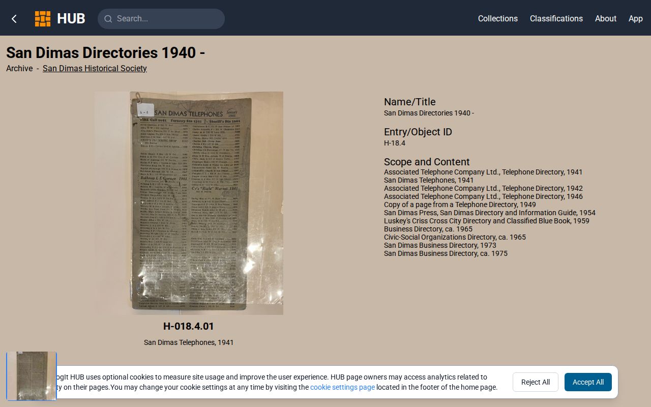
It is a reminder that a block can also have a time layer, but a directory entry names a listed person, not every nearby household.
Note: A neighboring polygon is a map relationship, not evidence that the same people share a block routine.
San Dimas Neighbor AINs
Once the nearby polygons are mapped, search each address in the Los Angeles County Assessor Portal and save the AIN, situs, map geometry, values, and characteristics. Owner names are not returned on the public web result. For one identified parcel, use the Specific Property request, phone, or Assessor office. This keeps a neighbor question tied to a parcel rather than a broad surname search.
The owner of an adjacent parcel may live elsewhere. A mailing address can be a tax destination, trust address, business address, or agent. A property owner is not automatically the current resident, and a resident is not automatically the owner. Label the evidence precisely.
Use the Assessor address and AIN search.Block method. Map first, capture AINs second, request a specific parcel third, and compare any name with a dated independent record.
Note: The owner request should identify one parcel, because a whole-block name search invites false matches.
San Dimas GIS Records
LA County GIS-NET can identify, query, buffer, measure, draw, export, report, and print parcel or tract context. Those tools are useful for unincorporated county pockets, but the research warns that GIS-NET planning and zoning should not be treated as the authority for an incorporated San Dimas parcel. The city map is the local zoning source inside the city.
Map scope should be recorded with the result. Write whether the evidence came from San Dimas Planning, the county Assessor, or county GIS-NET. A visual overlap can suggest which parcels are near one another, but it does not establish an easement, title boundary, or household connection.
County GIS-NET feature listSan Dimas Neighbor Limits
The block method can report adjacent parcels and recorded ownership, but it cannot infer everyone who is present. The situs is the land. The mailing address is correspondence. A permit applicant is an applicant or agent. A historical directory entry is a listed householder or subscriber. Utility customer and DMV address records are not ordinary public-directory sources.
| Parcel owner | Person or entity tied to a property record or deed. |
|---|---|
| Listed householder | Name printed in a historical directory, with publication limits. |
| Permit applicant | Person or agent tied to a construction filing. |
| Voter record | Purpose-limited registration information, not a household count. |
| Actual neighbor | A social or occupancy fact that these layers may not establish. |
That distinction prevents a block map from becoming a claim about private household membership.
San Dimas Voter Records
My Voter Status is a private self-check that asks for a last name, birthdate, house number, ZIP Code, and CAPTCHA. It does not search a block or return a San Dimas neighbors list. A detailed voter file requires a qualifying election, scholarly, journalistic, political, or governmental purpose under Elections Code sections 2188 and 2194, along with identity proof, a security plan, a requested subset, and a signed application.
The County Index to Voter, including a street index, remains purpose restricted. Safe at Home and other confidentiality protections can keep addresses from public display. Do not buy or request voter data to enumerate a block. Report the parcel and source date instead.
The California voter-file request rules are the source represented in the restricted-file image below.
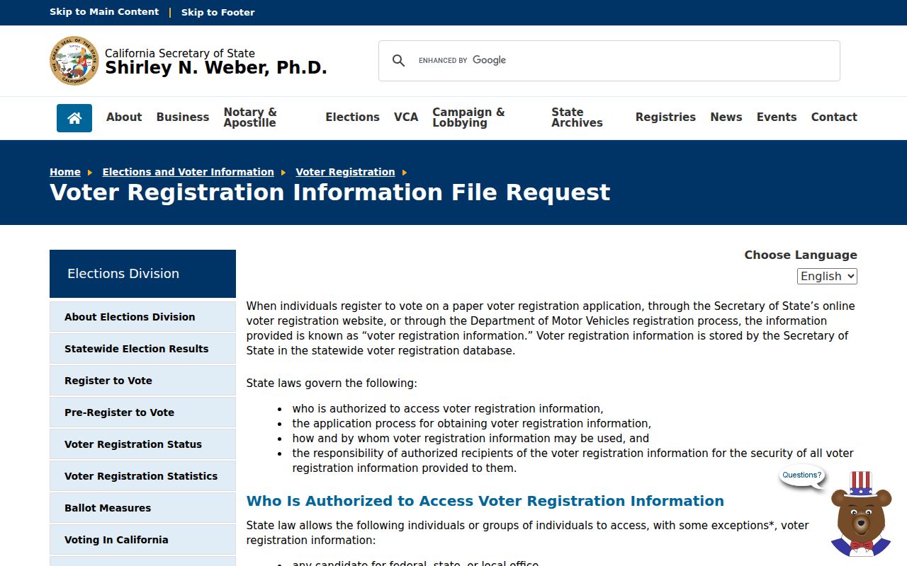
They show why qualifying access is different from a casual neighbor search.
San Dimas Parking Records
San Dimas permit-parking districts are address-defined civic areas rather than resident rosters. Implementation petitions count property owners of record. Notices use the latest tax assessment roll and known HOA contacts. Affected owners or residents receive notices, and petition records may be requested with personal fields reviewed for exemptions. The records can show which addresses fall inside a civic process, not every person on a block.
For a focused request, provide the district or street, address range, record type, and date. Ask the City Clerk how personal fields will be reviewed. City council districts are another civic geography tool: an address can return public elected-representative contacts, not a member list.
San Dimas HOA Records
San Dimas Code Compliance explains that CC&Rs are private contracts and directs enforcement questions to the HOA. The research found no official city page listing every San Dimas HOA or publishing association membership directories. A City Hall request cannot be assumed to produce a private roster. Contact an association only when it voluntarily publishes a public contact route.
| Community source | What may be public | Correct route |
|---|---|---|
| HOA or CC&R group | Governance or contact details if published | Association, not City Hall member records |
| City council district | Representative and civic geography | Address-based city tools and city contacts |
| Permit-parking district | Petition, notice, and affected address process | City Clerk request with review of personal fields |
| Business license search | Active business by address, type, or name | San Dimas HdL public search |
The San Dimas business-license guidance is the source represented in the address-based business image below.
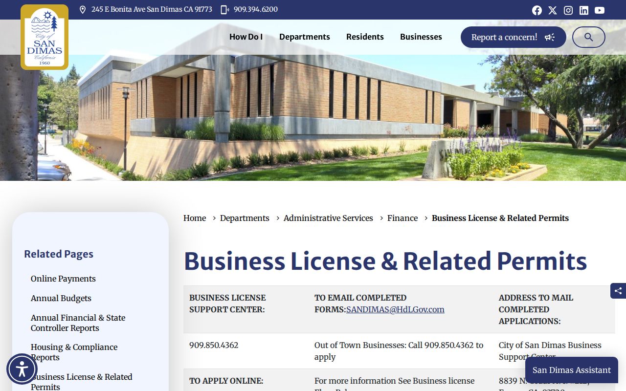
It supplies an address-based civic layer without turning business data into a household list.
Note: The absence of a public association roster is a finding about access, not proof that no group exists.
San Dimas Block Records Compared
Commercial neighbor tools may combine parcel data, directory entries, and marketing records, but they can label owners as occupants, retain stale addresses, merge names, and omit protected residents. Official sources are slower and narrower, yet they show the keeper, record type, access date, and limitations.
| Source type | Strength | Weak point |
|---|---|---|
| City map | Adjacent parcels and land-use context | Not title or occupancy proof |
| Assessor and Recorder | Dated parcel and ownership trail | Owner is not automatically resident |
| Historical directory | Listed name at an older address | Subscriber and coverage gaps |
| Commercial compilation | Broad lead generation | Unclear provenance and stale or merged data |
Use the city map for geometry, the Assessor for parcel facts, and the Recorder for an identified transfer. A commercial result may prompt a check, but it cannot replace those custodians.
Verify San Dimas Block Records
A reliable block note should show the path from one address to the surrounding parcels:
- Address to city map polygon and adjacent parcel shapes.
- Polygon to AIN and situs facts in the Assessor Portal.
- AIN to a specific owner-information request when the property question requires it.
- Owner name to a Norwalk deed-index search, with legal description and date.
- Historical or civic clue to a directory, permit, clipping, or City Clerk record.
The full named-street chain belongs in the San Dimas street directory. The neighbors lookup should stay close to the block, its parcels, and the community records that actually exist.
San Dimas Neighbor Lookup Limits
Safe at Home participants and other protected residents must not be reverse-located. Voter, DMV, confidential marriage, adoption, juvenile, and sealed court information has record-specific protection. A neighbor search should never use a map, deed, directory, or public notice to stalk, harass, threaten, or harm a person.
Lawful block research. Describe parcels and dated public records. Leave private household membership unknown when the official sources do not establish it.
If an adjacent-parcel question needs more detail, request only the specific record that can answer it. The City Clerk can review a focused address and date range under the California Public Records Act. Planning can clarify a city zoning popup, while the Assessor can handle an identified parcel through its specific-property channel. A private HOA may publish a contact route, but City Hall does not supply its membership list. The strongest block note names the map, AIN, custodian, and date, then stops before a protected address or private household fact.
Note: Adjacent land is a geographic fact; being someone’s neighbor is a social or occupancy fact that a parcel map may not prove.