
San Dimas Previous Resident Sources
The backward trail is made of sources with different time spans and different claims. Recorded instruments show ownership transfers. Census schedules name households. A reverse directory can name the listed adult at an address. Permit files date construction and may name an owner, agent, or contractor. San Dimas townsite maps explain why an old lot or street cannot be searched by its present label.
| Source | Years it covers | Where held | What it shows |
|---|---|---|---|
| LA County real-estate records | 1850-present | RR/CC Norwalk; identified copies remote | Ownership instruments and legal descriptions |
| Federal population census | 1850-1950 open; 1960 after 72 years in 2032 | NARA, library, genealogy databases | Named household, ages, relationships, enumeration context |
| San Dimas directories and reverse volumes | 1904-1959 verified layers; later runs vary | Historical Society and library inquiry | Listed name by alphabet or address, depending on volume |
| City permits and plans | Exact searchable start not stated | Building and Safety / City Clerk | Address, APN, owner or agent, scope, dates |
| Townsite and tract maps | 1887 and dated Society maps through 1972 | LA County Library and Historical Society | Lot formation, street context, parcel continuity clues |
| Sanborn maps | San Dimas-specific year unverified | LOC and California collections | Footprints and use only where a local sheet exists |
Each row is a different kind of proof. Do not use a deed to claim a full household or a directory absence to claim that a house was empty.
Note: The record with the longest date range is not always the record with the clearest resident evidence.
San Dimas Previous Resident AIN
Normalize the present address with USPS, then enter it in the Los Angeles County Assessor Portal. Capture the situs spelling, ten-digit AIN, parcel polygon, legal or tract clues, assessment facts, and any map references. The AIN is four map-book digits, three page digits, and three parcel digits. It is a better continuity key than a postal spelling when researching previous residents.
The public parcel website suppresses owner name and mailing address. Request the owner for one identified parcel by using the Specific Property channel, calling 213-974-2111 or 888-807-2111, or visiting an Assessor office. A mailing address can identify where tax correspondence goes. It does not prove who lived at the situs.
The Assessor Portal provides the address-to-AIN first step; the county’s property guidance explains the specific-property owner route.
The Recorder overview is the source shown in the county real-estate image below.
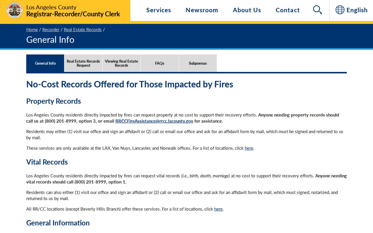
It confirms the 1850 start and the separation between online information and office-held discovery.
Note: A parcel key makes a backward trail repeatable even when a street label has changed.
San Dimas Deed Records at Norwalk
Los Angeles County’s grantor and grantee index is not publicly searchable online. At the Norwalk headquarters, 12400 Imperial Highway, search the current owner as a grantee near the acquisition year. Note the grantor, grantee, recording date, document number, book or page, vesting, and legal description. An identified document can then be ordered online, by mail, or at the office. The county describes online processing as up to 20 working days from receipt, with fees that vary by record and certification.
The index is a discovery tool. The deed image is the instrument. A certified copy is a custodian-issued copy with formal certification, not the same thing as a web result. Use the RR/CC copy request path after the document number is known.
| Grantor | Seller or transferring party in the instrument. |
|---|---|
| Grantee | Buyer or receiving party in the instrument. |
| Recording date | When the county accepted the document into its record. |
| Document number or book/page | Retrieval key, with older references often using book and page. |
| Legal description | Parcel language used to test continuity beyond an address. |
San Dimas Earlier Deed Search
After opening the current purchase deed, search the seller as a grantee in an earlier period. Compare the legal description, tract or lot, vesting, and approximate date. Repeat the same move backward. This is a chain of title, meaning the sequence of recorded transfers used to connect a parcel across owners. A name alone is not enough. Trusts, spouses, entities, common surnames, and partial descriptions can create false chains.
- Write the present AIN, situs, and legal description.
- Find the current owner’s acquisition deed in the Norwalk index.
- Record the seller and search that seller as an earlier grantee.
- Compare every predecessor instrument to the same parcel clues.
- Insert directories, census, permits, clippings, and probate between transfers.
Older deeds may use a lot, block, tract, Rancho San José description, or a former street number. Record the terminology instead of forcing it into the modern address.
Note: Chain of title requires continuity in the legal description, not just a plausible sequence of surnames.
San Dimas Legal Records
San Dimas’s address history begins before the incorporated city. The settlement was Mud Springs, town lots were laid out with the 1887 railroad boom, and incorporation followed in 1960 after neighboring annexations. A pre-1887 search may need Rancho San José land descriptions rather than a San Dimas street label. No official source verified a citywide street-renumbering year.
When a number or street name changes, use the lot, block, tract, subdivision map, AIN history, deed legal description, and a directory cross-reference. The Assessor’s situs is useful for the present parcel. It is not a substitute for the legal description that carries the title trail backward.
Continuity tip. If the address stops matching, stop searching the street name and compare the lot, tract, map, and legal description.
1959 San Dimas Directory Trail
Luskey’s 1959 Criss Cross City Directory and Classified Blue Book is a key San Dimas previous residents source because it begins with an address. Find the street and number, transcribe the listed name, and confirm the name in the alphabetical section. The listed person may be a householder or subscriber. The volume does not prove that every resident, owner, or family member appeared.
San Dimas city directories from 1904 through 1926, telephone volumes through 1946, the 1954 San Dimas Press guide, and regional Pomona volumes fill other gaps. The San Dimas directory collections page carries the year and publisher trail. Use it here as a source, not as a substitute for the deed chain.
The 1930s catalog series is the source shown in the Historical Society image below.
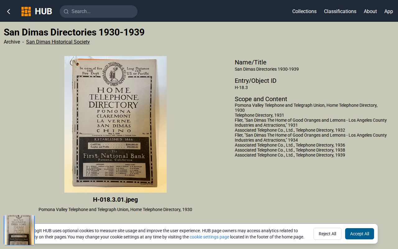
It shows where a directory year fits before a repository visit.
San Dimas Directory and Census Years
Federal census schedules from 1850 through 1950 are publicly available in the research period, with 1950 the newest open census under the 72-year rule. Pair a directory year with the nearest census, then compare the named household, age, relationship, enumeration geography, and address context. Before incorporation, the entry may be filed under Pomona, county, township, or another regional label.
The 1890 loss makes the directory and newspaper layers especially important. An absence from a directory can mean nonsubscription, incomplete scope, spelling variation, a move, or death. A census can fill household detail that a telephone book leaves out, while a deed can establish ownership but not occupancy.
The National Archives census resource is the source shown in the census-access image below.
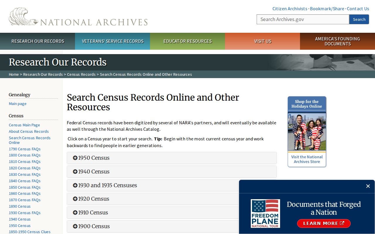
It explains the public-release timeline and the missing 1890 layer.
Note: Census geography can change before incorporation, so Pomona and county labels belong in the search plan.
San Dimas Permit and Probate Records
City Building and Safety applications can connect an address and APN to an owner, agent, contractor, scope, plan, or construction date. The permit applicant is not necessarily a past resident, but a dated roof, pool, solar, addition, conversion, or demolition can align a house with a deed or directory entry. Request older material through Building and Safety, the City Clerk, phone, counter, or a focused CPRA request.
The Historical Society’s clipping folders cover residents, obituaries, schools, churches, clubs, veterans, and businesses. Probate files can extend a deceased owner’s trail to heirs or a personal representative. Use exact dates and page references, and distinguish a family lead from a certified record.
San Dimas Map Records
The Library of Congress Sanborn collection can show building footprints, construction, use, streets, and numbers where a local sheet exists. The research did not verify an authoritative San Dimas-titled Sanborn year, so a house-history claim should not cite a Sanborn map until the place and sheet are confirmed.
Better local fallbacks are the Historical Society’s early townsite and tract maps and dated maps from 1910, 1924-25, 1940, 1947, 1954, 1958, 1964, and 1972. Pair a map with a deed, directory, photograph, permit, or newspaper. The Calisphere search can also surface digitized California images, but every item needs place verification. The California State Archives family-history resource is another referral point, although its published county-transfer inventory does not list Los Angeles County.
The Calisphere collection search is a discovery route for images and archives, not proof that a specific Sanborn sheet covers this address.
San Dimas Previous Resident Limits
Previous residents can be reconstructed for genealogy, house history, estate research, and local memory. The chain must stop where a record is sealed, an address is protected, or the evidence only supports a name on paper. Safe at Home participants, confidential marriage records, adopted original birth records, and sealed court material should not be reverse-located. A deed, directory, or obituary is never a reason to contact someone who has not invited contact.
House-history boundary. Keep the work tied to a documented parcel and time period. Do not use a past-address trail to stalk, harass, threaten, or harm a person.
Note: “Who owned the parcel” and “who lived in the house” are separate questions that require separate evidence.